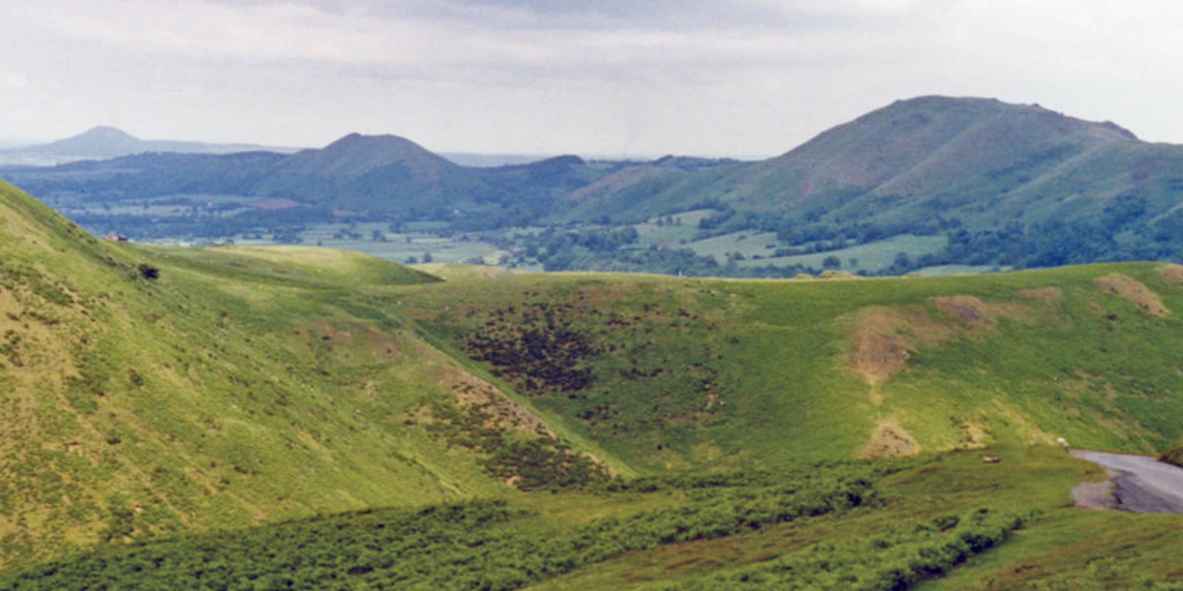
Titterstone Clee Hill
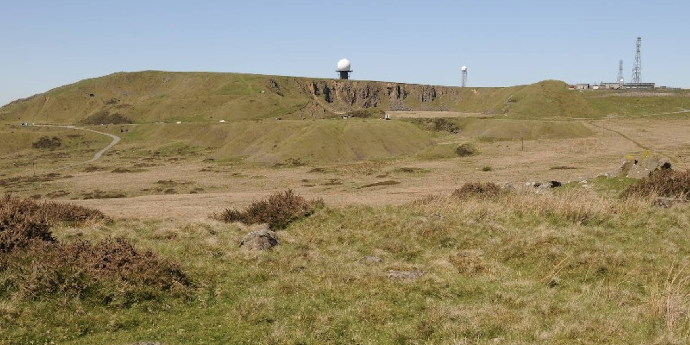
Titterstone Clee Hill is 1749feet high or 533metres. It looks and is often thought to be the higher of the Clee Hills but is about thirty feet lower than Brown Clee. If you are walking The Shropshire Way, it’s route takes you
Titterstone Clee Hill is 1749feet high or 533metres. It looks and is often thought to be the higher of the Clee Hills but is about thirty feet lower than Brown Clee. If you are walking The Shropshire Way, it’s route takes you
Brown Clee Hill is the highest peak in Shropshire. It is 1772 feet high or 540metres at Abdon Burf where there is a toposcope signposting the landscape beyond. If you travel eastwards from Brown Clee the next high ground you come to
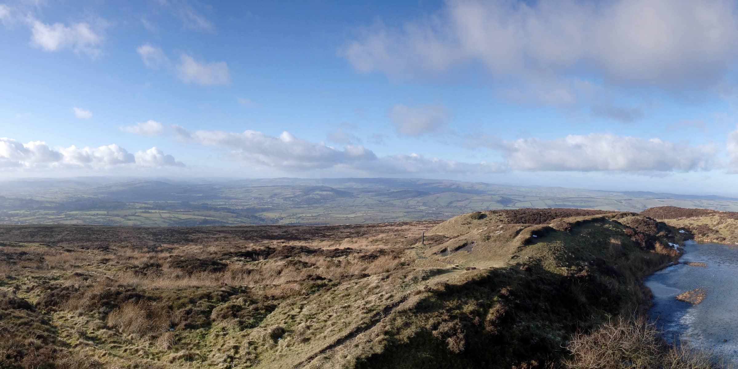
On Wednesday (26thApril) a friend and I walked to Norton Camp. Norton Camp is an Iron Age Hill Fort which is above Craven Arms, to the south east. Wednesday was possibly going to be cloudy and dull but as it turned out
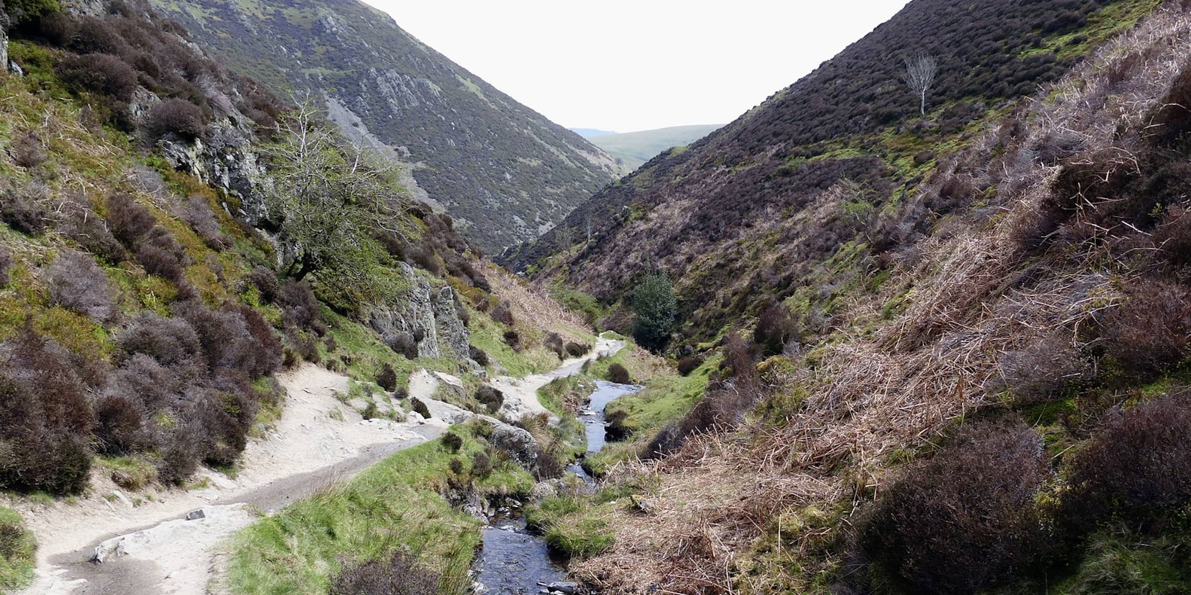
Carding Mill Valley is a valley set in the side of The Long Mynd. Carding Mill Valley is owned by the National Trust. Some of the building were used for carding the wool from the sheep on the surrounding Hills. There is
Did you know the 23rd February is Shropshire Day? No, I didn’t until last year. It is also St Milburga Feast Day. She died on this day in seven something or other. She was the second Abbess of, what was then, Wenlock
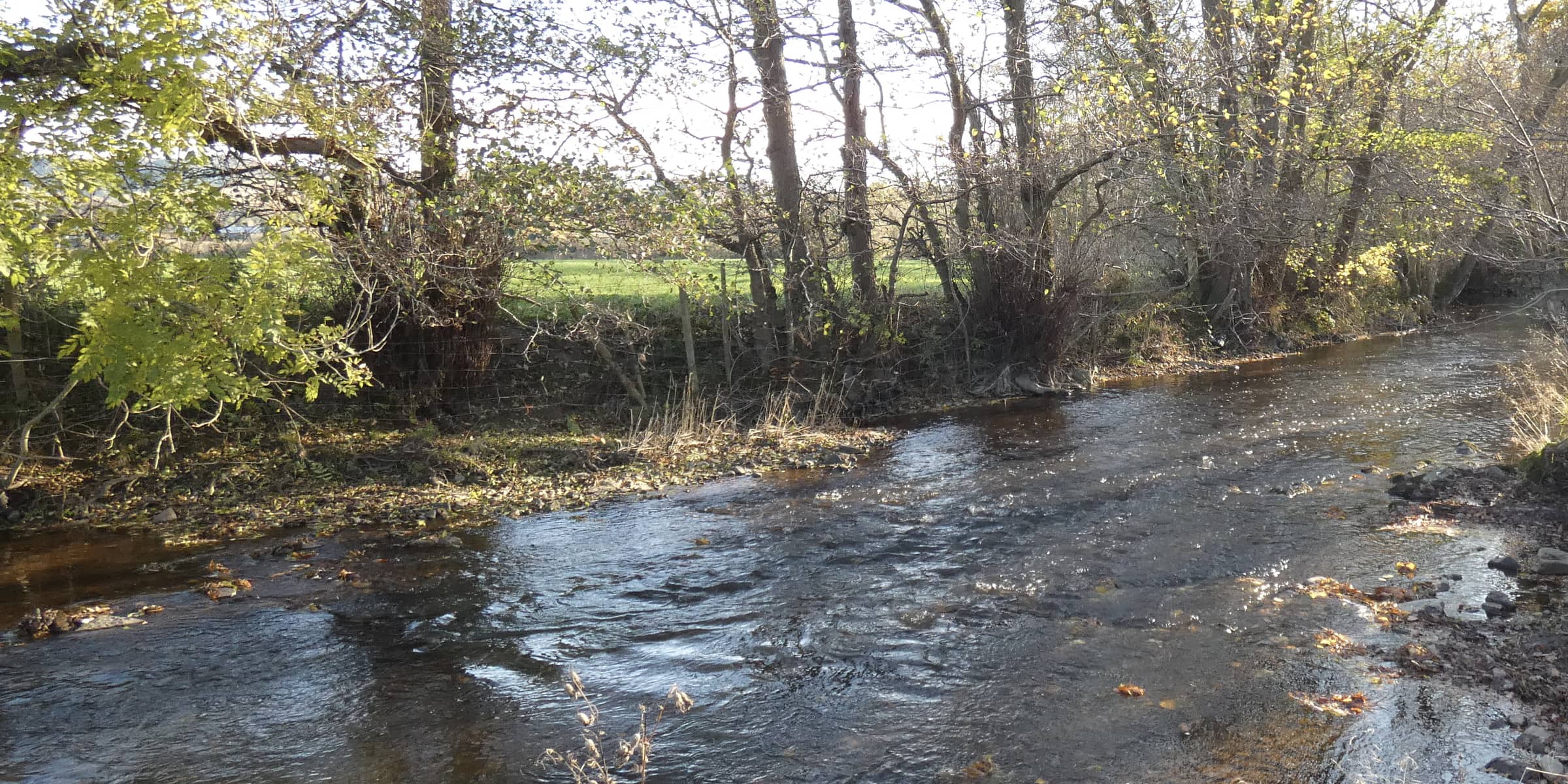
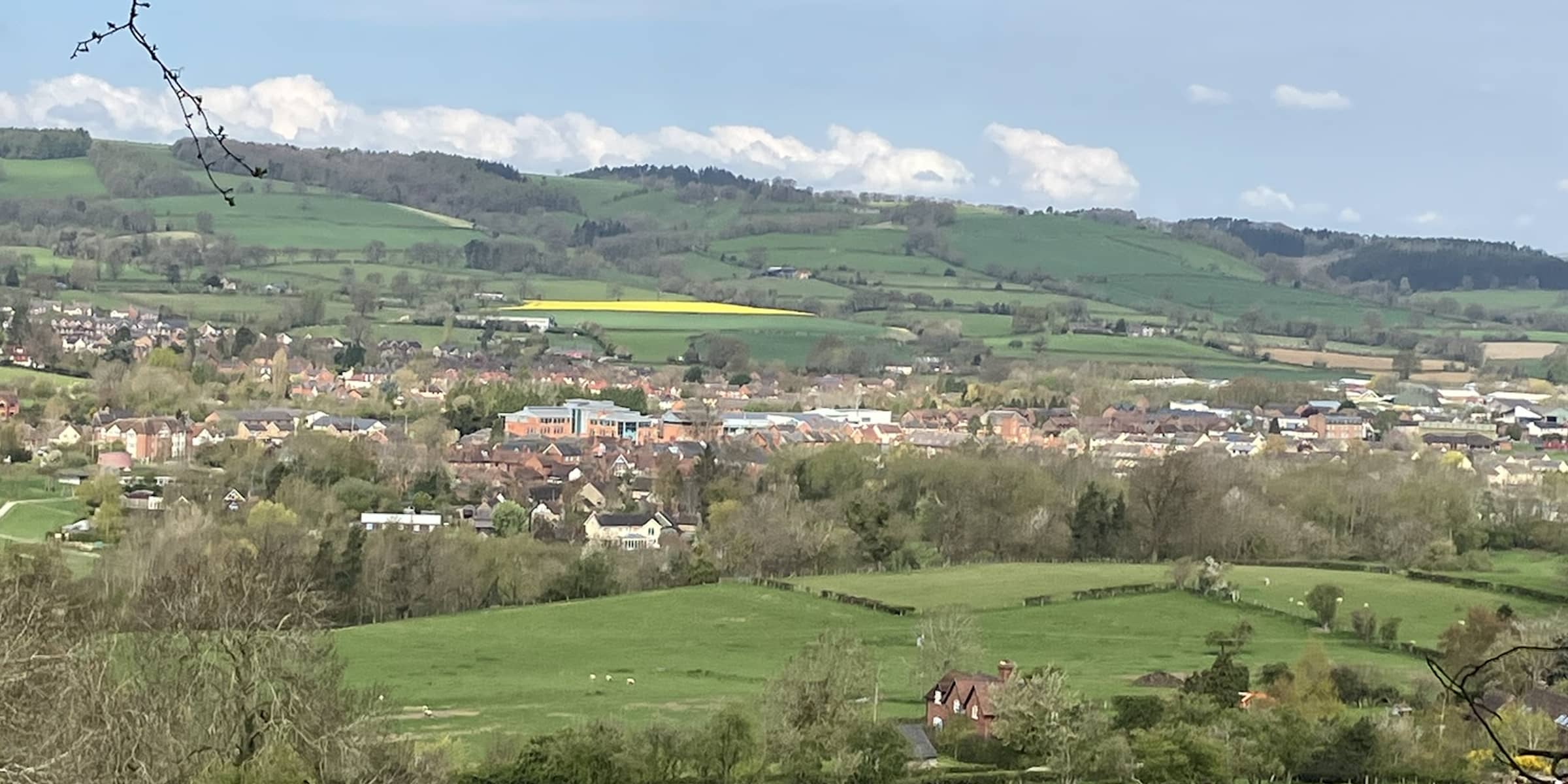
The River Onny flows through the meadows surrounding Craven Arms. It’s source is at White Grit in the Shropshire Hills. It has two branches the East and the West Onny which converge at Eaton east of Lydham. The Eastern course rises near
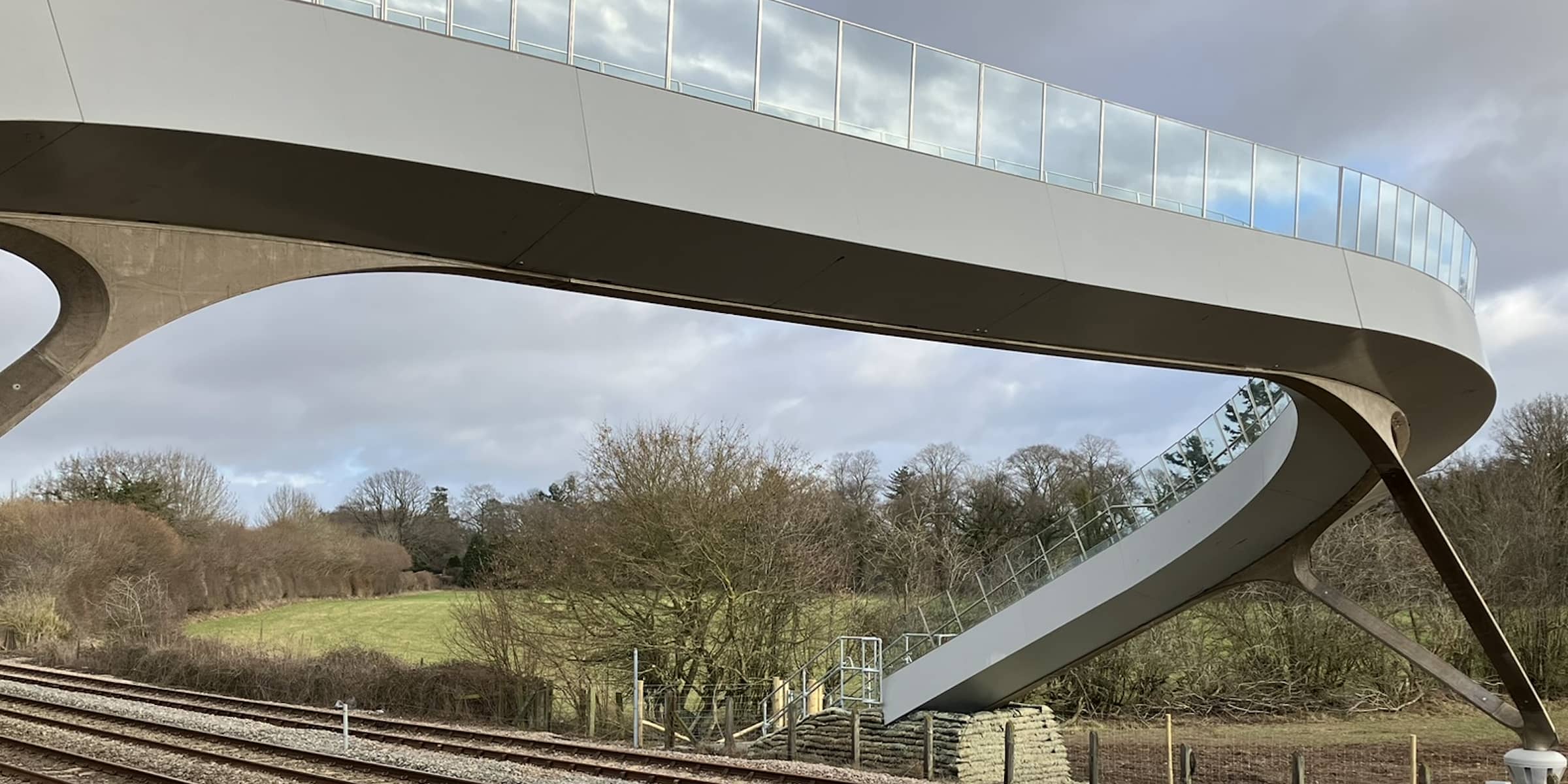
Wistanstow Foot Bridge opened on January 27th 2023. I walked that way with a friend a couple of days before it opened. It was meant to be open in December 2022 and we had hoped to use the bridge and enjoy the
The Long Mynd is a moorland and heathland plateau high above Church Stretton. At it’s high point, Pole Bank, it is 1693feet above sea level. The plateau is 7 miles long and 3 miles wide. Most of The Long Mynd is owned
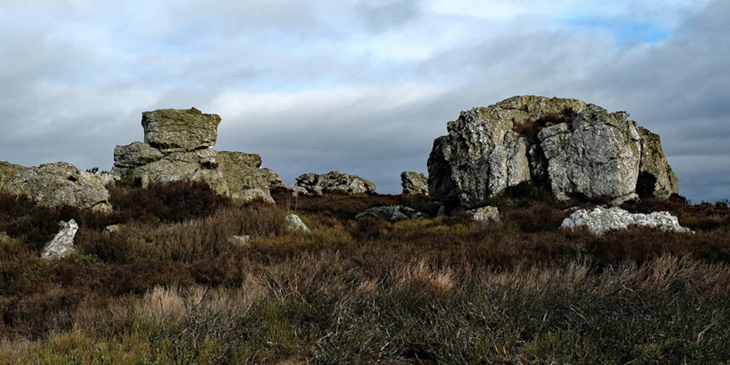
Stiperstones is the second highest hill in Shropshire at 1759 feet above sea level. It is capped by Rocky outcrops, the most famous of which is The Devil’s Chair. The highest is Manstone Rock. Stiperstones is a SSSI, providing a foothold for
We drove up to the heights above Beguildy. Beguildy is on the border of England and Wales. It was a lovely drive through the Shropshire Hills along quiet country lanes. We saw a Red Kite feeding on a dead rabbit in the


