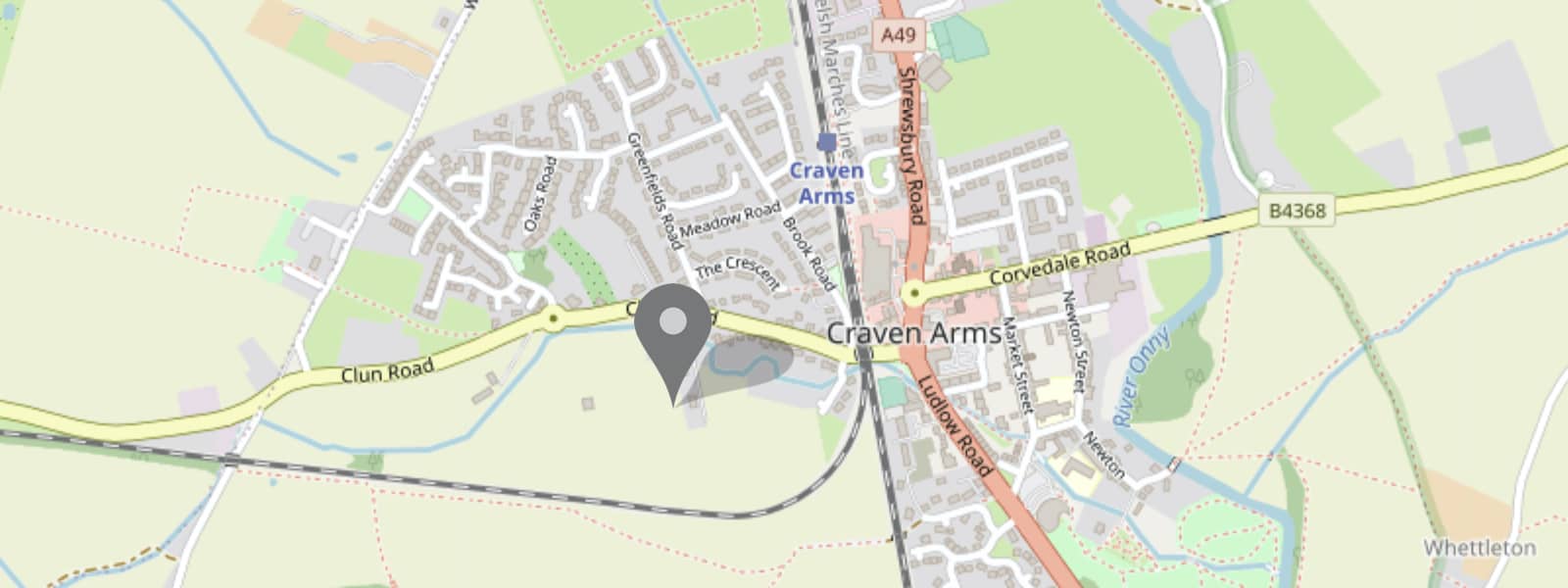
Craven Arms is located in South Shropshire on the main A49 trunk road that connects Shrewsbury to the north with Hereford to the south.
Craven Arms is referred to as the Gateway to the Welsh Marches.
In medieval Europe the word march denoted a border area – especially between two realms. The Anglo-Saxon term mearc was latinised after the Norman Conquest to denote the border between England and Wales.
Nowadays the Welsh Marches refers to those counties that lie on the border between England and Wales.
An earlier border between England and Wales called Offa’s Dyke dates back to the Anglo-Saxons and the fifth century.
Offa’s Dyke is just 12 miles from Folly View as the crow flies.
This page links to further pages that provide detailed information about the local area around Folly View and also further afield in Shropshire.
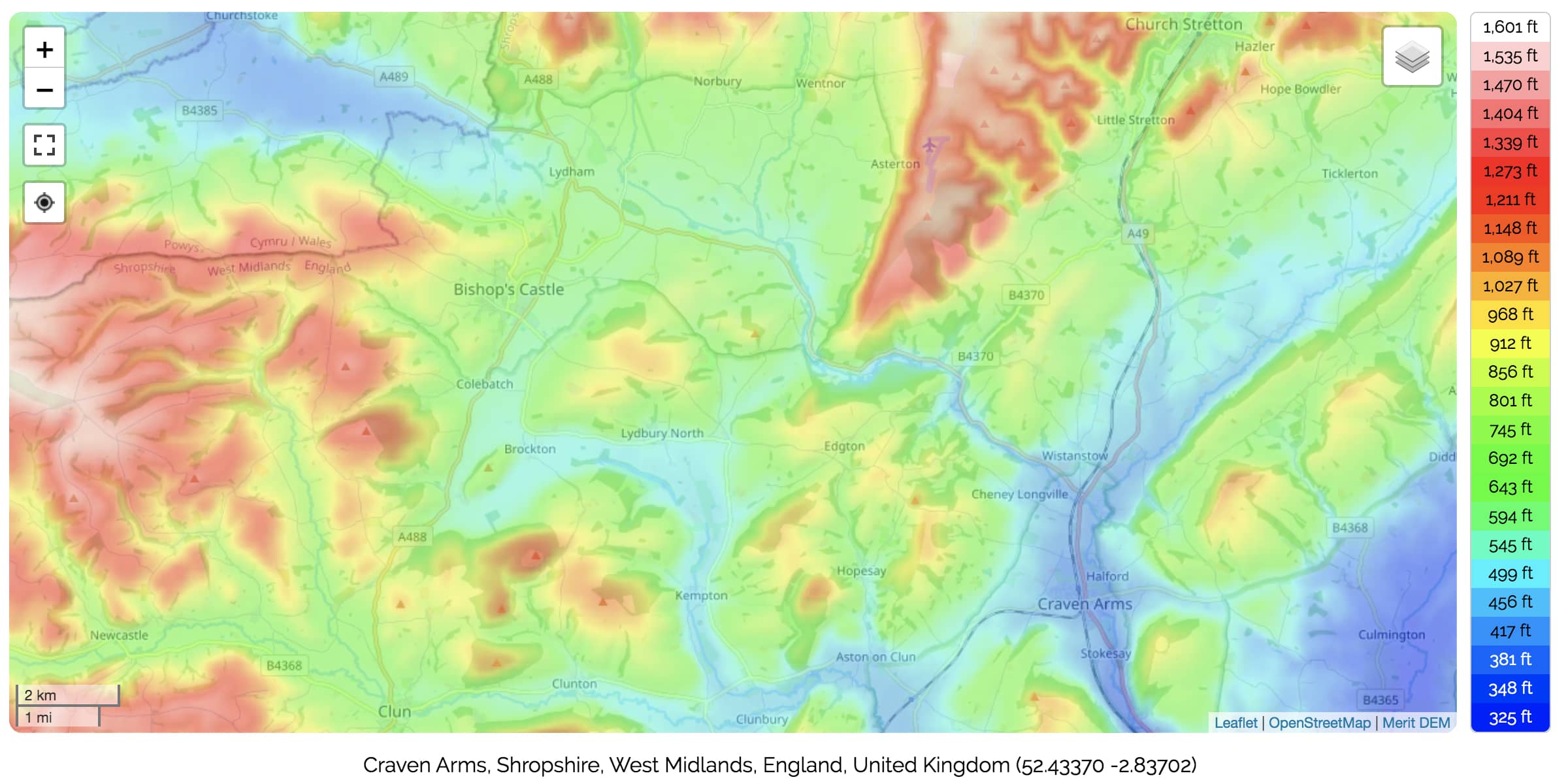
Topography is the study of the land surface and a topographic relief map aims to illustrate the geological features of hills, valleys and rivers by use of colour-coded contours.
The screen grab above shows a topographic relief map of the Craven Arms area.
The minimum elevation of the area shown is 282 ft and the maximum elevation is 1,195 ft.
This graphic shows how Craven Arms sits within the beautiful hills of South Shropshire and points to the diversity of geology, geography, habitats and wildlife.
The border between England and Wales can be seen to the west of Bishop’s Castle.
Folly View is a comfortable two bedroomed, self contained flat, sleeping four people, located in Craven Arms on the edge of the Shropshire Hills Area of Outstanding Natural Beauty